Surveying
Survey support that strengthens confidence in land decisions.
From boundary awareness to equipment rental support, this page presents STAMARA's land and survey capability with clarity.
Overview
Professional surveying support for landowners, investors, and development projects.
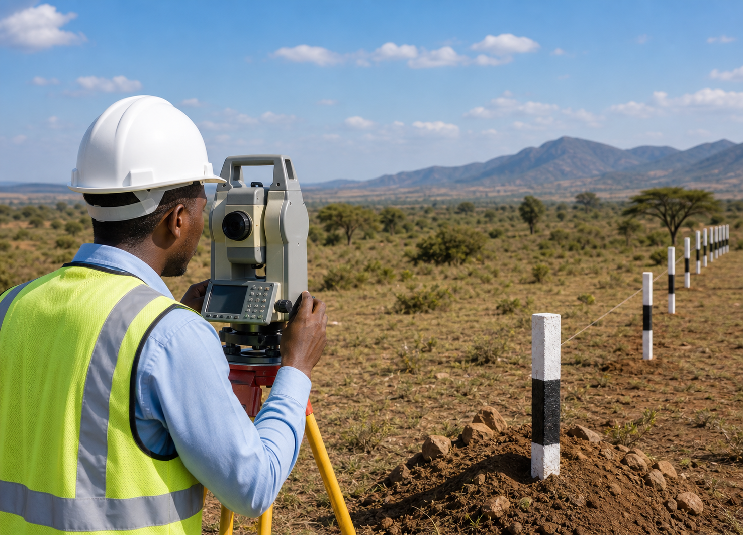
STAMARA provides practical surveying support for landowners, investors, and development projects that need clear coordination and trusted field guidance.
- Boundary and site coordination.
- Survey equipment rental support.
- Clear documentation for land-related decisions.
Survey Services
The service range that supports planning and land protection.
Boundary Support
Awareness and guidance around key boundary considerations.
Site Analysis
Coordination for location-based land and project understanding.
Survey Coordination
A practical structure for field communication and work planning.
Equipment Rental
Support for teams that need access to survey equipment and related logistics.
- Access-oriented rental structure for field operations.
- Logistics and handover planning for short-term usage.
- Connected to a dedicated online booking workflow.
Why it matters
Survey equipment support now moves into a dedicated workflow so clients can reserve, price, and pay without cluttering the homepage.
FAQ
Common land and survey questions, organized in a simple accordion.
The page brings together survey support, equipment access, and practical guidance in one streamlined service view.
Yes. The equipment rental section is separate so clients can open the dedicated booking flow when needed.
Yes. STAMARA supports land advisory, property guidance, and practical field-related coordination.